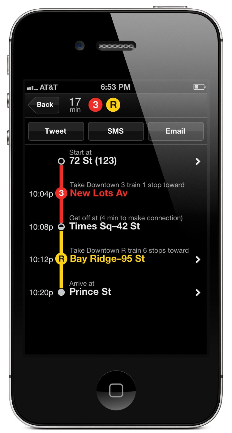
Embark made public transit apps for iOS and Android for a dozen transit systems around the U.S., and London. It mysteriously vanished in late 2013, and all the employees somehow magically ended up working at Apple, bringing Transit features to Maps.
Transit Diagrams
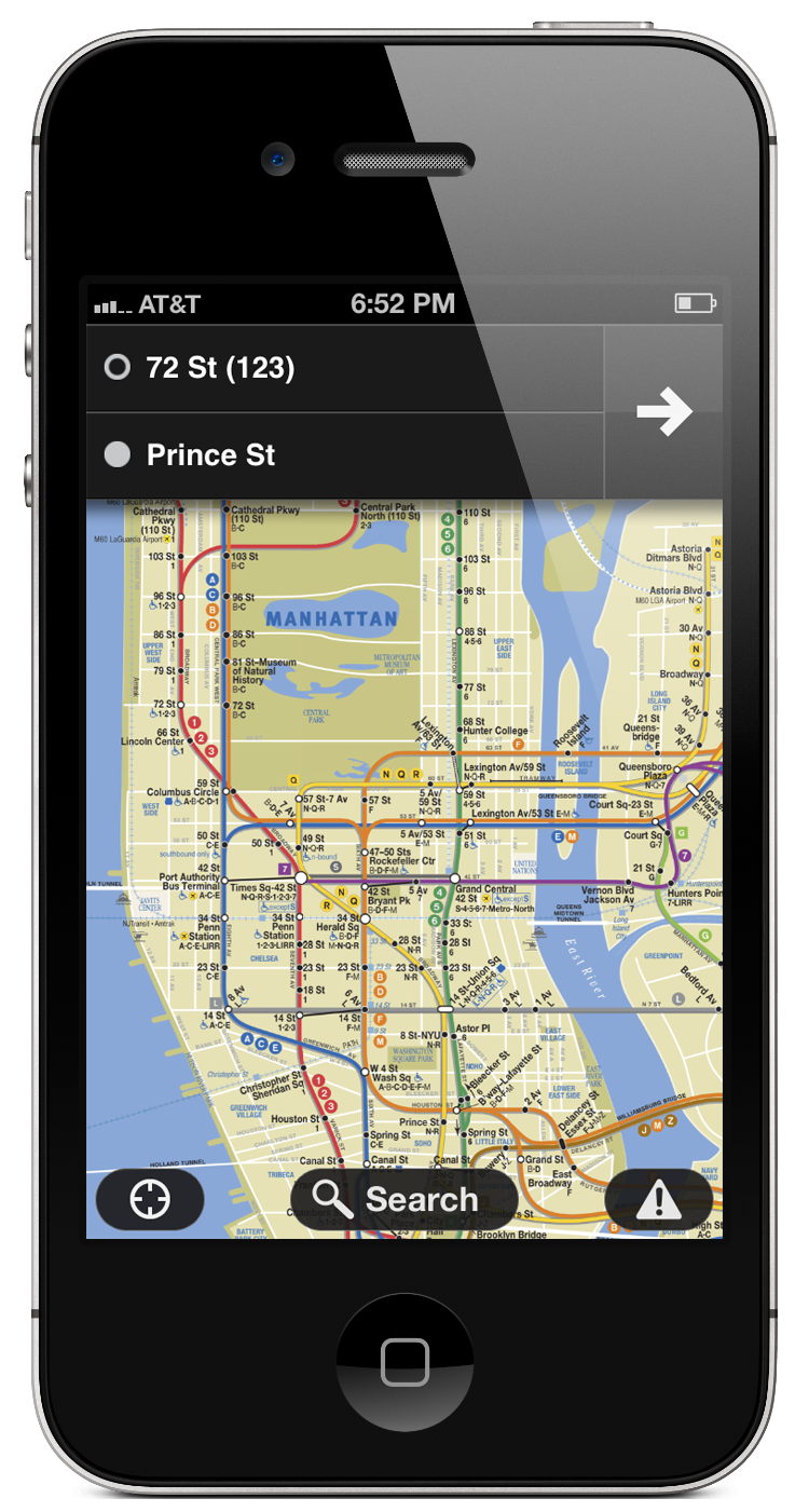
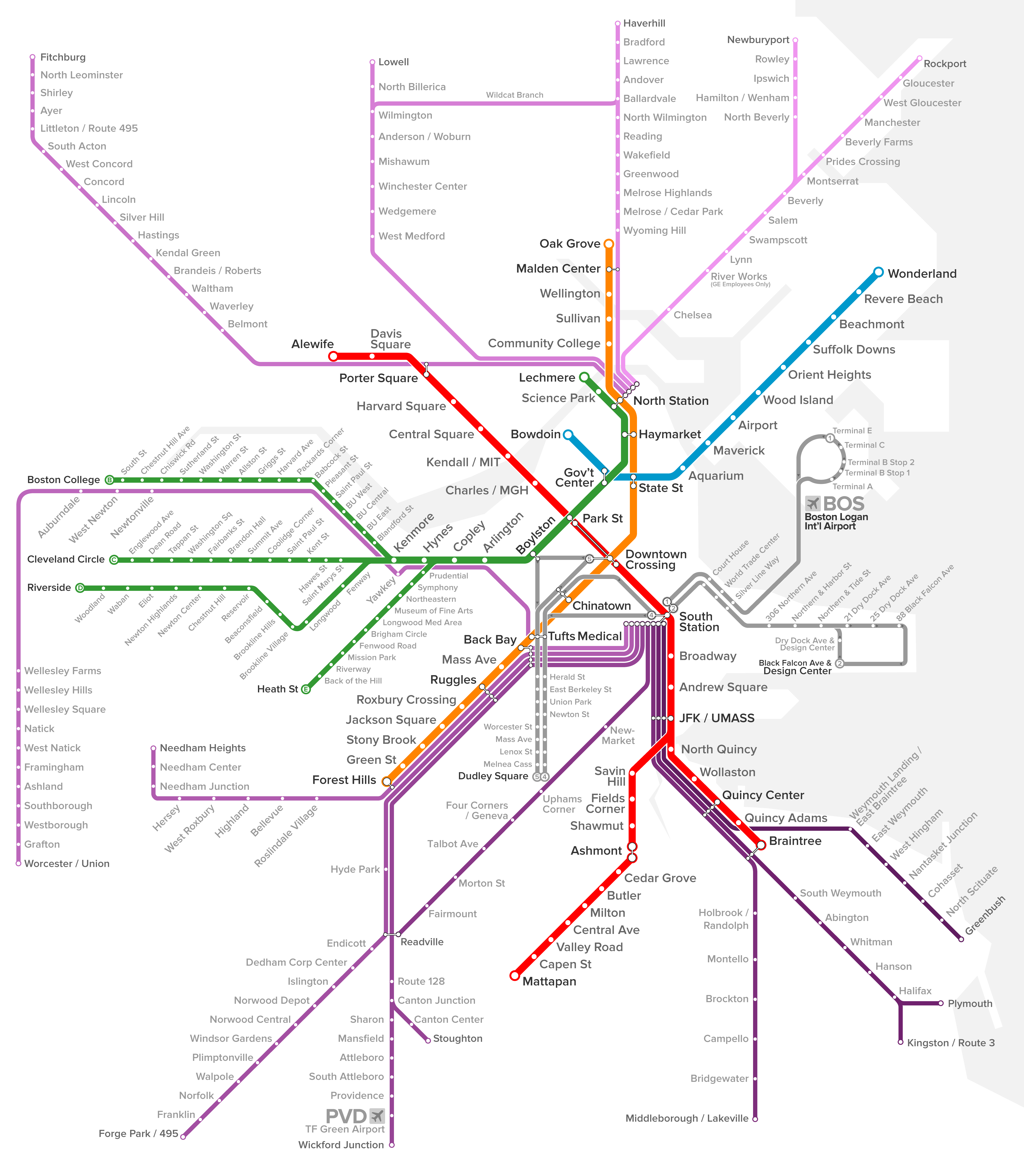
While working at Embark I created a series of transit diagrams for certain regions and systems without an iconic map that we could license (such as the London Underground or New York Subway). For some apps, these were single commuter rail system diagrams; in Boston and Philadelphia, the goal was to unify all rail-based transit modes across systems into a single interactive map. The map for Boston probably represents the most mature state, and includes the commuter rail, subway/light rail, and Silver Line rapid buses.
All The Transit on One Map
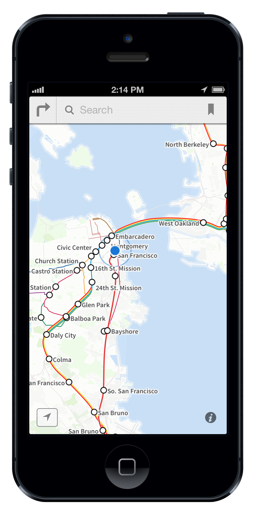
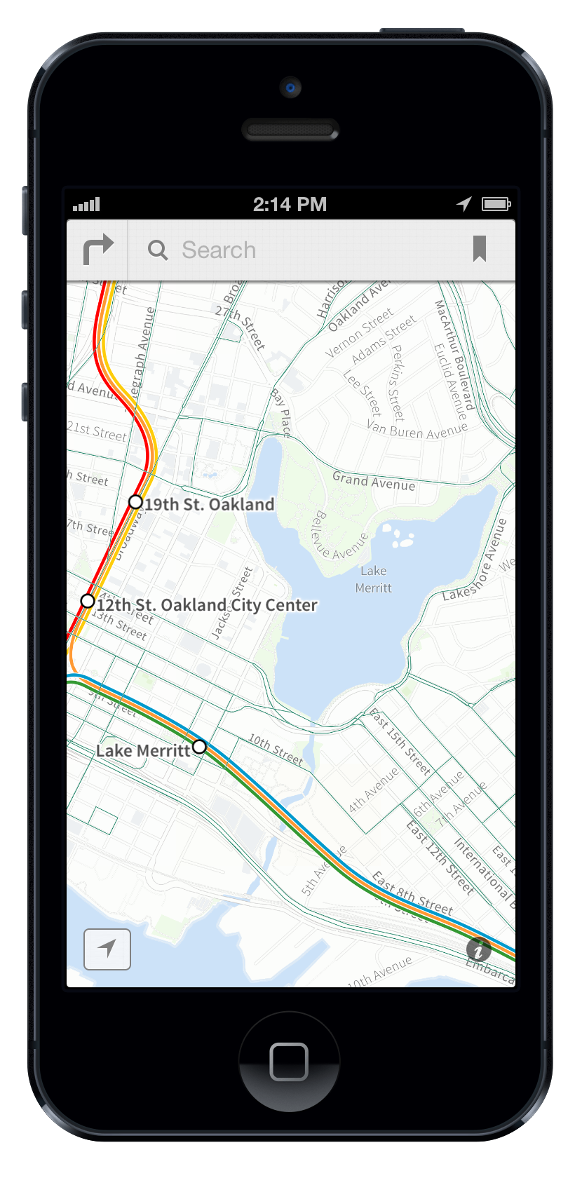
Embark’s latest project before disappearance was a geographically-accurate slippy map of all transit modes, including the frequent bus network. This goal was beautifully realized by both Apple and our friendly competition at Transit a couple years later (with the exception of the frequent bus network).