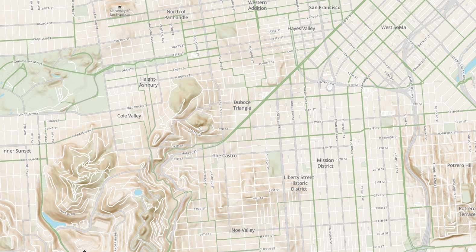
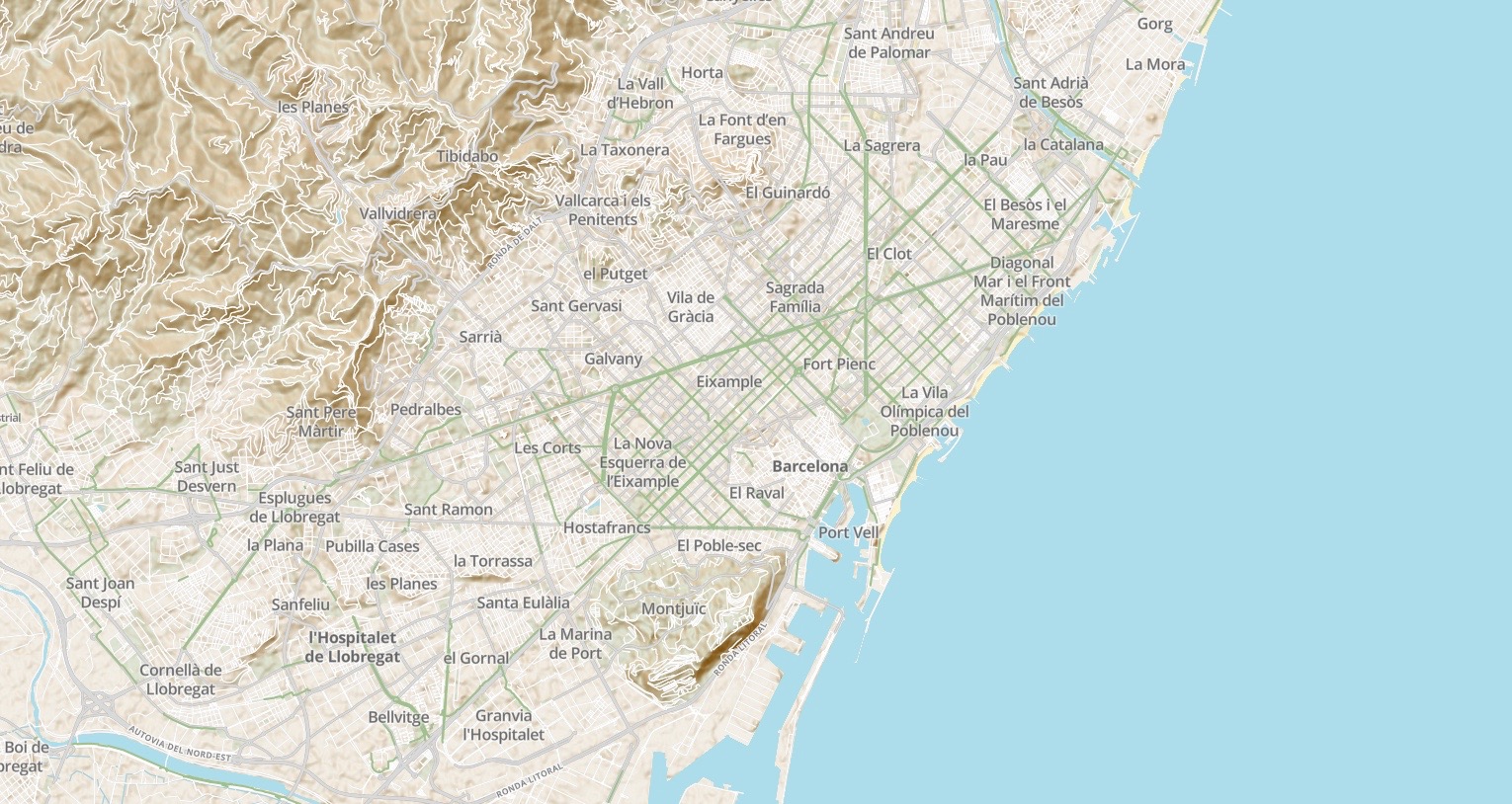
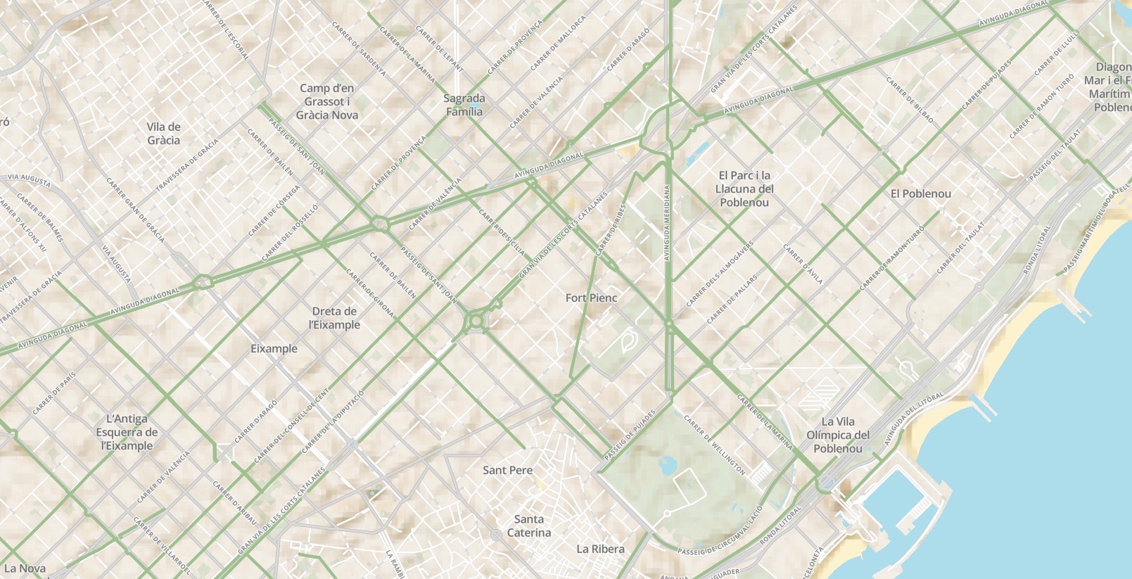
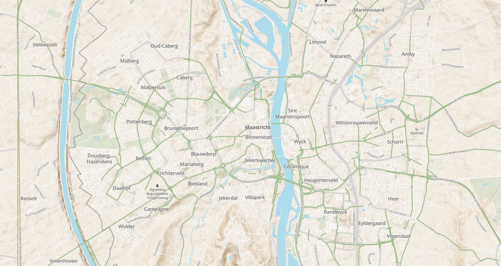
For over three years, I’ve worked intermittently on a project to design a bicycle-focused cartographic experience, similar to the innovation that Google brought to driving cartography and Apple to the slippy transit map. Like existing solutions, I have used OpenStreetMap data (via Mapbox), which is amazing for its openness but also very complex and sometimes inconsistent. I’ve gone on tangents doing cycling infrastructure audits of entire cities in OpenStreetMap along the way.
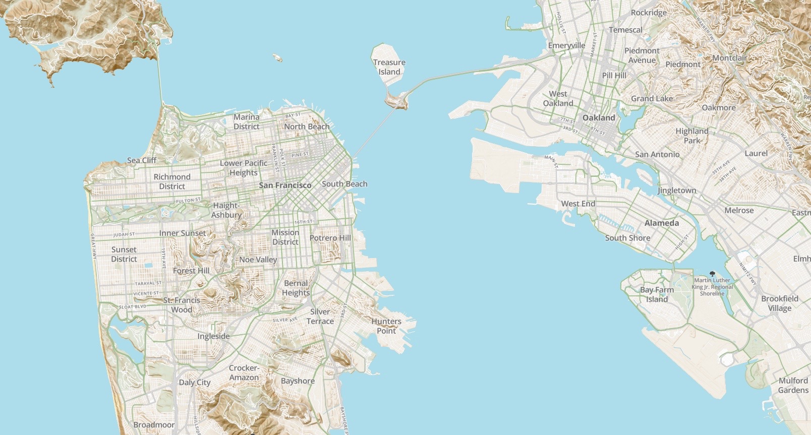
Drawing inspiration from great printed bike maps that show infrastructure variations and (more importantly) cycling comfort, my design attempts to adapt to the local realities of using a bicycle in different cities around the world while enhancing legibility. The map is still in development, but the latest prototype is here. Below are samples of the style in San Francisco, Barcelona, and Maastrict.
